News from the world of OpenStreetMap No. 469 (07/09/2019 - 07/07/2019)
OpenGeofiction website (OGF) is made on the OpenStreetMap 1 software platform |
Mapping
- Francois Lacombe announced the start of voting for his
line_attachment=*tagging scheme , which will allow him to mark the options for attaching wires (electrical or telecommunication) to supports. - Now the German OSM forum is again discussing dubious edits of the Amazon Logistics map, which, for example, even mapped the roads in former coal mine villages.
- The user stadtvermesser asked the OSM forum a question: how to mark wells with drinking water. He found an article on WikiOSM on this topic, but it is quite controversial.
- The tagging scheme, which is proposed to mark technical labels , is waiting for comments.
- Leif Rasmussen put to the vote his proposed
connectivity=*tagging scheme . It is assumed that it will improve the mapping of lane connections, as it will use the newtype=connectivityrelation.
Community
- The members of the OSM group at Telegram (Worldwide) decided to conduct an online survey to better understand those who make up the OSM community. Its results will be published on August 11. The survey form is here , additional information is in this diary .
- This year, the FOSS4G-Korea conference will be held (automatic translation ) (October 10-11) in Busan, South Korea. Shin Sanjhe of Gaia3D (Korean Geospatial Company) proposed (automatic translation ) to hold a QGIS 3.8 translation campaign at the conference. Participants register in the OSGeo wiki .
Imports
- Borbus user plans to continue to improve the quality of the UK coastline with OS VectorMap . At the moment, he has completed the drawing of Wash Bay , and also decided to consult with the community about how best to complete his work.
OpenStreetMap Foundation
- The OSM Foundation Communications Working Group is looking for helpers to translate blog posts and surveys into other languages.
- The minutes of the meeting of the working group on licensing dated June 13, 2019 were published.
Developments
- Often the quality and speed of helping people during emergencies depends on the availability of high-precision maps. For many areas, these maps must first be prepared. Therefore, the non-profit organization Doctors Without Borders uses modern technology and the help of thousands of volunteers. On August 6, 2019, from 17:00 to 20:00 in Berlin, there will be a cardboard organized by Missing Maps .
Humanitarian OSM
- HOT is partnering with Development Seed, Facebook and Microsoft to create artificial intelligence mapping tools. Currently, the development of the ML-Enabler program has been completed, which will allow the HOT Task Manager to acquire machine learning.
We pass to OSM
- Vector map
 developed by the National Geological Institute of Argentina contains data from OpenStreetMap. To be more precise, they are used starting from 12 zoom to show as many details as possible. At the same time, the Institute of Cartography of Valencia (autonomous community of Spain), on the contrary , data from OSM uses to display other regions and countries, and its own for the local map.
Software
- SMARTS (Scalable Microscopic Adaptive Road Traffic Simulator) is a traffic simulator developed at the School of Computing and Information Systems at the University of Melbourne (Australia). At the core is OpenStreetMap data.
- It seems that the Trufi application, showing the route of minibuses in Cochabamba (Bolivia) (we already talked about it somehow), also came to Accra (Ghana), but under the name
Trotro. This is mentioned in the article about the AccraMobile3 project. Twitter - Trotro account in Accra.
Programming
- Russian maker Zkir has made a new validator that checks for 3D models for churches and some other historic buildings. Why churches? Because these are the most noticeable objects and for their modeling there are photos on temples.ru . At the moment, certain regions of the Moscow, Vladimir and Yaroslavl regions are included in the validation, i.e. what falls into square degrees [56 °, 38 °].
Releases
- A new version of JOSM has been released, in which it is now possible to filter substrates by country name, implemented HTTP / 2 support, an improved interface, and much more.
- User wambacher has released a new version (4.4.7) of his map - OSM Administrative Border Maps. Now you can log in using OAuth, and also improved error reporting.
- A new version of the popular OSMAnd navigator has been released. Now you can create profiles that allow you to configure routing, a new compass appeared on the map with a radius line and the option “Turn on the screen”, which turns on the screen when approaching a turn when the screen is off, if there was a long straight section before that.
- The Task Manager team has released a new version (v3.4.0) of its software tool, which simplifies the coordination of volunteers and the organization of groups for mapping in OpenStreetMap. The changes are available on GitHub. If you are interested in developing this product, you can join the meetings of their working group, which takes place once every two weeks.
Do you know ...
- ... about the plugin for JOSM, with which you can take various measurements ?
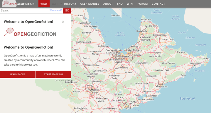
- ... about opengeofiction ? It is useful if you decide to practice mapping, but don’t want to do it in OSM.
Other geo events
- A new map of global river systems MERIT Hydro , which is a combination of existing MERIT DEM , OpenStreetMap and Landsat data , has appeared on the Earth and Space Science News website.
- The Register reports . That the Galileo satellite navigation system is completely out of order. July 18, she resumed her work. But, unfortunately, it is not specified why the failure occurred.
- On June 15, 2019, the Russian traveler Kirill Fronyuk went on an autonomous single hike. He plans to walk from Orenburg to the Arctic Ocean along the main peaks of the Ural Mountains. You can follow his movements online - on a map based on OSM.
- The is XKCD website has a table on the number of decimal places used in geographic coordinates.
- Game development studio Bublar Group has released a trailer for the mobile fantasy game Otherworld Heroes , which is an augmented reality game for mobile phones. At the heart of its own mapping system is data from OpenStreetMap.
Communication of Russian OpenStreetMap participants is in the Telegram chat room and on the forum . There are also groups on social networks VKontakte , Facebook , but they mainly publish news.
Join OSM!
Previous issues: 468 , 467 , 466 , 465 , 464
')
Source: https://habr.com/ru/post/461093/
All Articles