Apple will improve its cards with copters
DJI Phantom 2 Vision + and other drones will help Apple improve its mapping service.
Currently, Apple Maps service looks and works much better than a few years ago, when the new product was first introduced to users. Apple's cards were announced in 2012, the service was presented simultaneously with the announcement of iOS 6. Apple intends to clarify the map data using drones from various manufacturers, including DJI, Aibotix and other companies. Drones will be used to fix street signs and markings, clarify the location of roads under construction, etc. So far it is unclear exactly when the drones will complement or replace the cars that Apple uses for this purpose now.
The corporation has already managed to get permission to use drones from the US Federal Aviation Administration. Current rules require that the drone operator always have visual contact with the device. Apple management has decided to work with Amazon Prime Air to solve the problem of managing the drone. Someone from this division of Amazon will help Apple manage their copters. At this time, the project is being prepared, and work is underway in Seattle, not Cupertino.
The corporation filed a permit to use drones to work on the refinement of cartographic data to the US Federal Aviation Administration (FDAA) in 2015. Since then, the document has been reviewed, and only now it became known that the request has been approved . The FAA’s reciprocal message states, in particular, that Apple obtains permission to "control automatic aircraft for data collection, including photographing and video filming on the ground." These restrictions, of course, will slow down the work of drones.
')

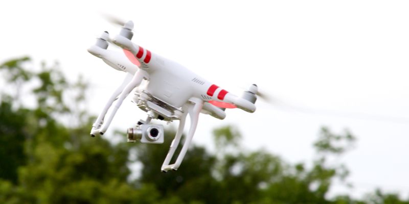
Nothing too special Apple plans to use. Conventional drones like the Aibot X6 and similar devices
It is likely that the copters will be used for 3D scanning of their surroundings. Such information may be useful in the future for developers of automatic transport systems. But the fact that Apple is developing its own autopilot, has been discussed for a long time .
Besides the fact that the operator must always be in visual contact with the drone, the FAA has other requirements. In particular, the management of commercial copters requires a special license. In addition, such systems cannot fly over people and buildings - this is prohibited. In most other countries, work with drones is not regulated at all, so the corporation will be able to manage them without any problems.
In addition to conventional maps, Apple also develops a mapping service inside large buildings. For example, museums, airports, stations. This service will help service users to navigate in an unfamiliar place with the help of your smartphone. To speed up work in this direction, a startup Indoor.io was bought, which was engaged in the development of indoor mapping technologies. Last year, Apple confirmed the fact of the transaction, without revealing, however, financial details. Even earlier, in 2013, the company bought another startup, WiFiSlam, which did similar work.
Indoor tracking is realized thanks to several technologies at once, including pressure sensors GPS, WiFi, Bluetooth. Another company, according to rumors, creates an application that will help the driver to better navigate the road when changing lanes.
Immediately after the release of the card from Apple was a raw, unfinished product. At one time, the head of the company, Tim Cook, had to apologize to the users, promising to fix and improve everything soon. At the same time, Cook advised to work with alternative services while correcting errors, including Bing, MapQuest, Waze, Google Maps or Nokia Maps.
Problems with mapping services can threaten not only a couple of hours of wandering in unfamiliar terrain, but also more serious problems. For example, in the United States this year, builders demolished the wrong house because of an error on Google Maps.
After a while, the problem was resolved and Apple Maps quickly became a popular service among iPhone and iPad users. Last year, these cards became three times more popular for this category of users than Google Maps. Every week, Apple Maps servers handle more than 5 billion user requests for building routes.
Source: https://habr.com/ru/post/399775/
All Articles