NASA recursive photography: an island in a lake on an island in a lake on an island
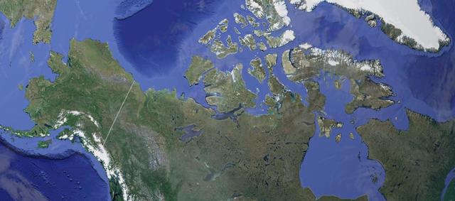
No, there is no typo in the headline - the photo posted by NASA does depict an island in Canada that is located in a lake, which in turn is located on an island inside a lake on Victoria Island. A photo of all this beauty was taken by Landsat 8 satellite.
By the way, the size of the first island, which is located inside everything, is only 300 meters - but it is the largest island of this type (there are others). Geographically, all this is located in the Canadian Arctic Archipelago.

')
In Canada, this region belongs to the province of Nunavut and the Northwest Territories . The island on which the lakes and other islands are located is rather large - in the rating of the largest islands it is the eighth largest in the world, and its area is commensurate with the territory of Belarus.
It is worth noting that the Landsat 8 satellite is not the first time photographing interesting objects, for example, a whole gallery of earlier satellite images that have not only scientific, but also artistic value.

Volcano paluweh

Colorado River

Volcanoes in Chile

Fires in Idaho, USA

Greenland glacier melting
More satellite images can be found here .
Source: https://habr.com/ru/post/365155/
All Articles