Alternative planetary data for geographic information systems
Modern geographic information systems and services (QGIS, ArcGIS, MapBox, etc .; hereinafter referred to as GIS) and the data formats used by them have become the standard means for representing maps of the earth's surface and even the surfaces of some neighboring planets. But there is a kind of maps where the means of geographic information systems are practically never used anywhere. And these are cards that are obtained as a result of procedural generation , for example, in video games.
The main difficulties on this way are: a large number of calculations for obtaining some detailed map of even a small planet, complication of the methods of generation during the transition to a spherical surface of the planet, obtaining a plausible relief with rivers and lakes. Also, some difficulty is the procedure for extracting vector cartographic information from the resulting relief.

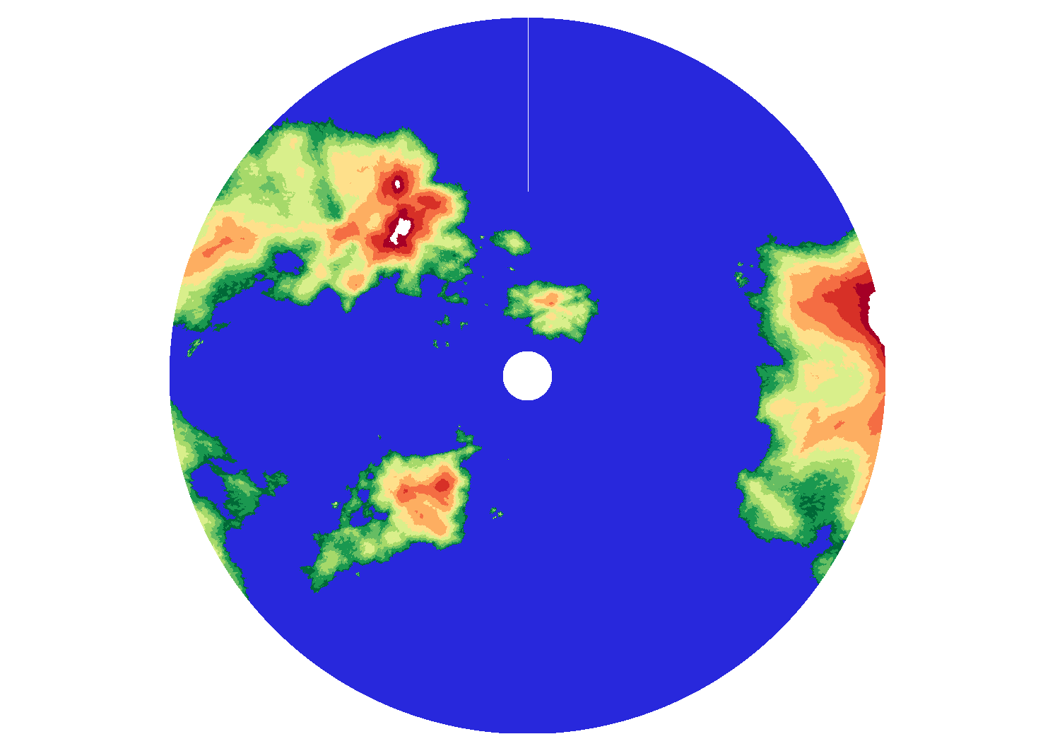
In my recent startup, I learned how to make spherically procedurally-generated maps of planets with a relief resembling Earth . Although not everything still looks as it should, or as it would like, (for example, the rivers are still the same width everywhere), but the result is already quite encouraging and can be applied anywhere. Examples of planets can be seen on the site. There you can also read the description of the method that is used to obtain maps of the planets (there is still my old post on this topic , but the information there could be partially outdated).
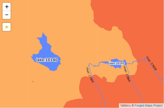
The resulting data is presented in a form understandable to GIS . Currently, vector data is laid out in the ESRI Shapefile, and the raster information in GeoTiff and SRTM DEM. Accordingly, all the power of modern GIS can be applied to the data and presented as it pleases, up to a change in the projection, rendering of heelshading or height contours.
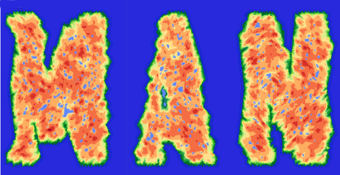
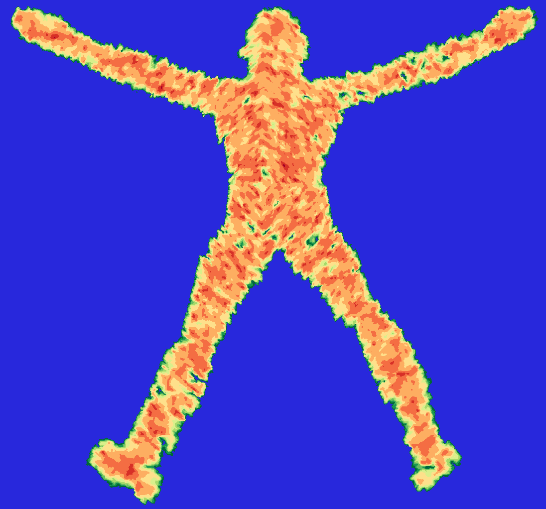
A side effect of this whole process is the possibility of obtaining geo-information data for terrain objects that are unlikely or even basically impossible on the earth's surface. The picture at the beginning of the post is part of the relief of the planet Mandelbrot , and the picture below is the only continent of this planet .
All the images presented in this post are selected projections of sections of the spherical map of the corresponding planets.
')
Source: https://habr.com/ru/post/334642/
All Articles