Indoor navigation - first steps with indoo.rs NavigationSDK

Suppose you are organizing a conference, exhibition or are responsible for the infrastructure of a shopping center or airport. In any case, you are dealing with a large flow of visitors. One of the problems that you will encounter is navigation inside the premises, or rather its absence. By solving this problem, you can improve the efficiency and availability of your event, as well as improve the quality of services provided.
This task is not new and attempts to find its solution have been made repeatedly by various market participants. In this article I will tell you about one of these attempts - the technology proposed by the Austrian startup indoo.rs.
This startup has been around for several years, and recently the efforts that have been made on the product are aimed primarily at reducing the cost and drastically simplifying the application of technology. Anyone who is interested in the implementation process, from decision making to the finished mobile application with navigation functions, welcome under cat.
It should be noted that the company's product line is not limited to navigation. In addition to it, systems of interaction with customers (proximity marketing), tracking of movements of property or goods (asset tracking) and employees (worker tracking) are also being developed. Today we will look at NavigationSDK, a tool that allows you to easily use indoor positioning technology in your mobile applications.
The preparation process itself consists of the following steps:
- register a new account and application;
- entering information and creating a map of the premises;
- taking measurements of the level of the radio signal in the premises;
- processing of the received measurements;
- mobile application creation and SDK integration.
So, the first step when working with NavigationSDK is to create an account. At the moment, there are several tariff plans available, among which Testing is a free tariff plan with a limit of 1 month for anyone who would like to get a general impression of NavigationSDK. We will try it in business.
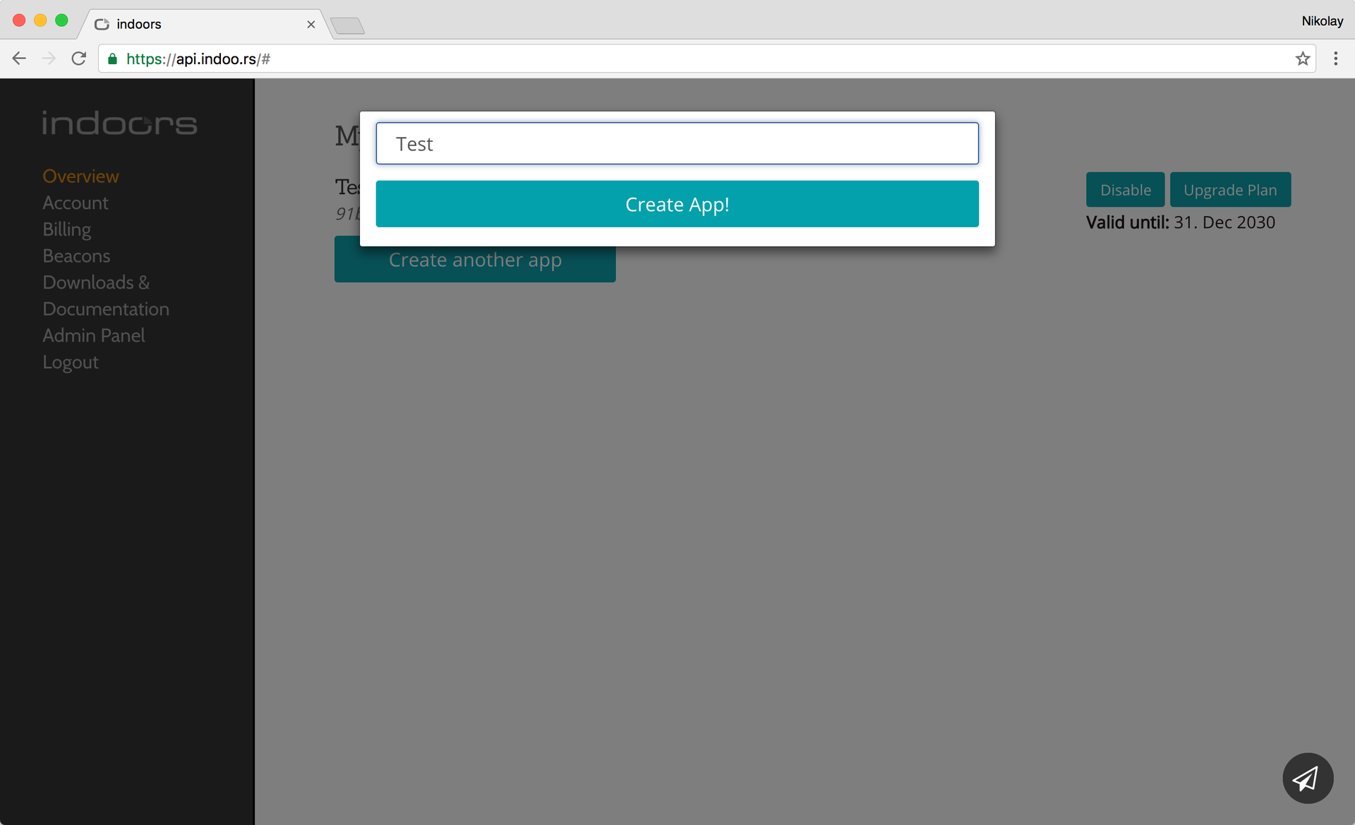
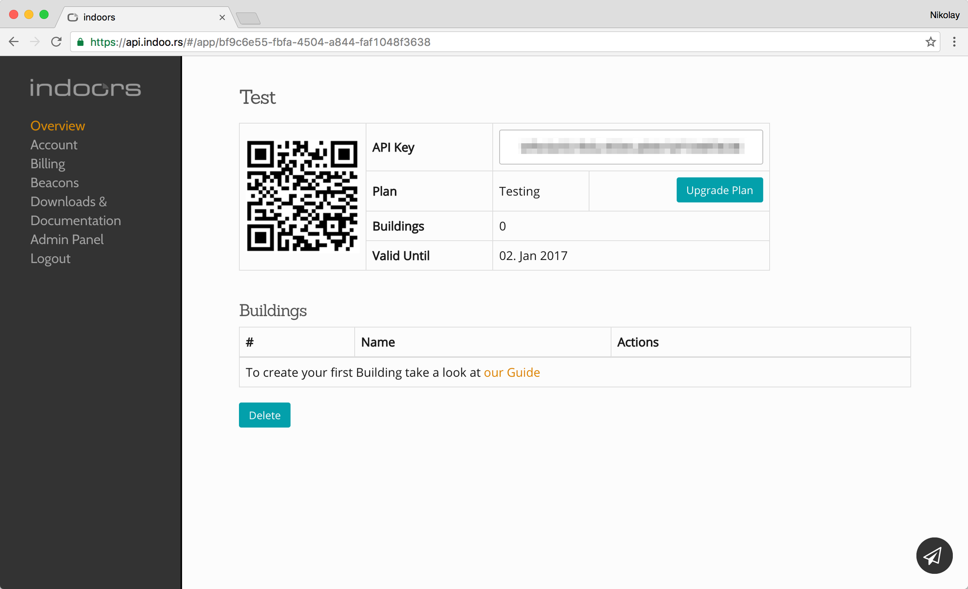
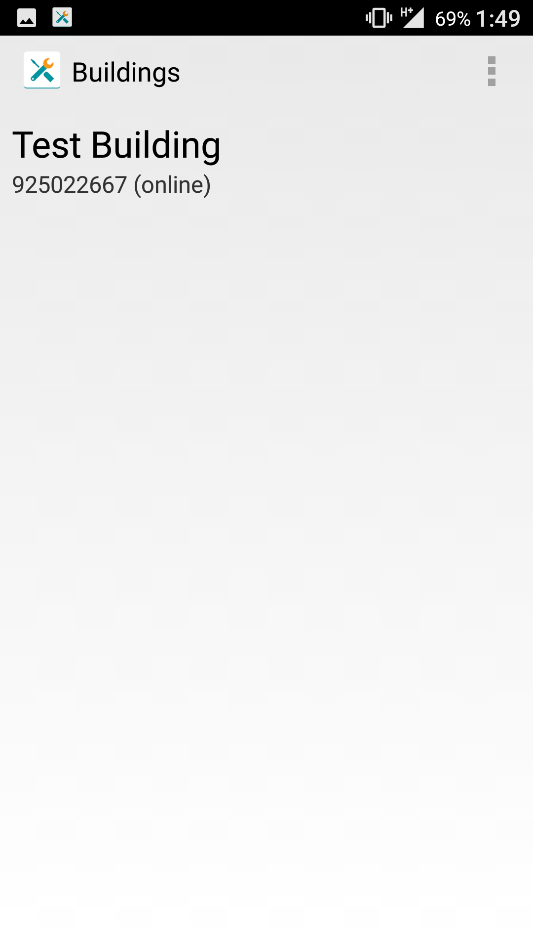
So, we have registered an account - what next? The next step is to register the application. After that the key will be available to work with the API.
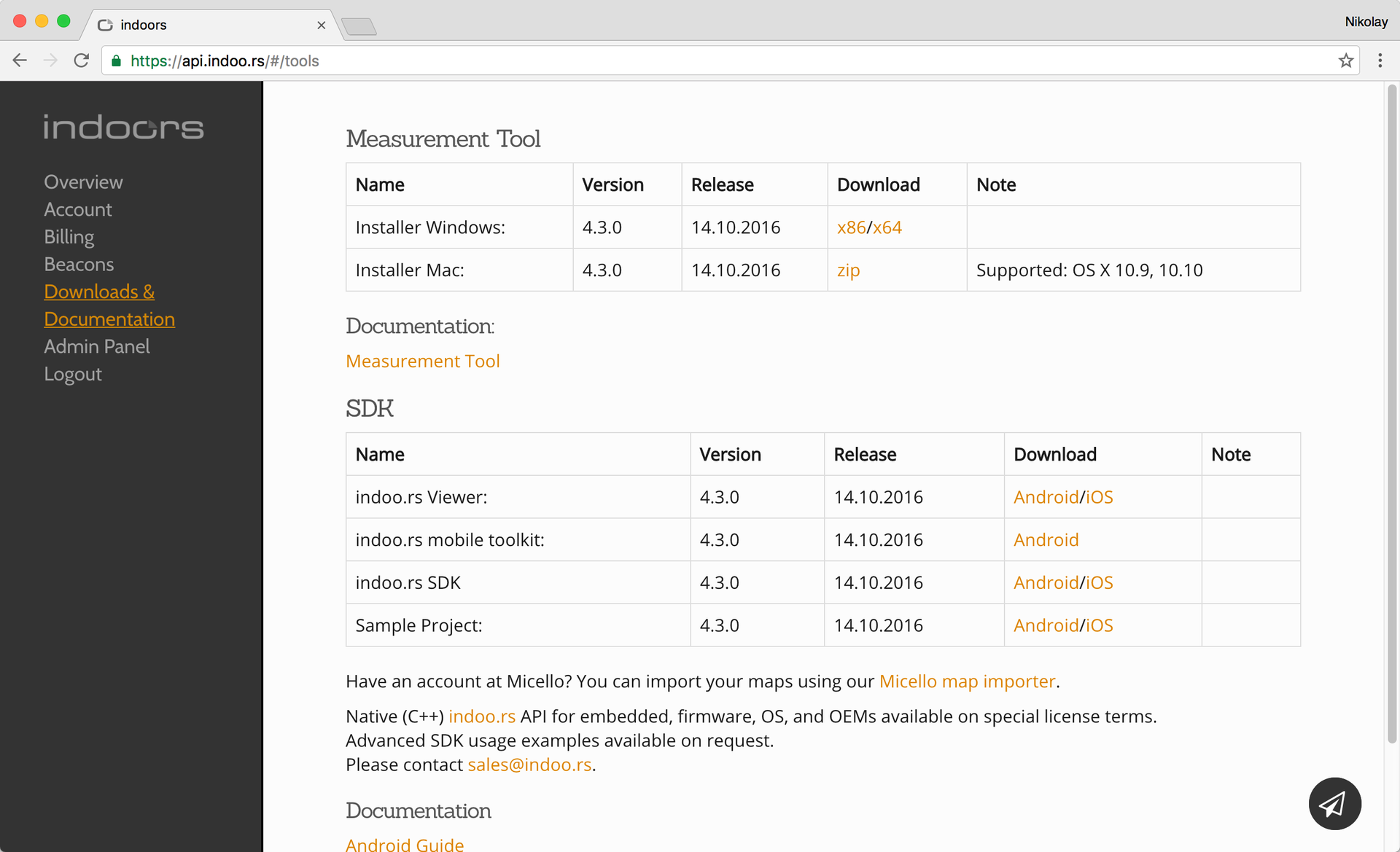
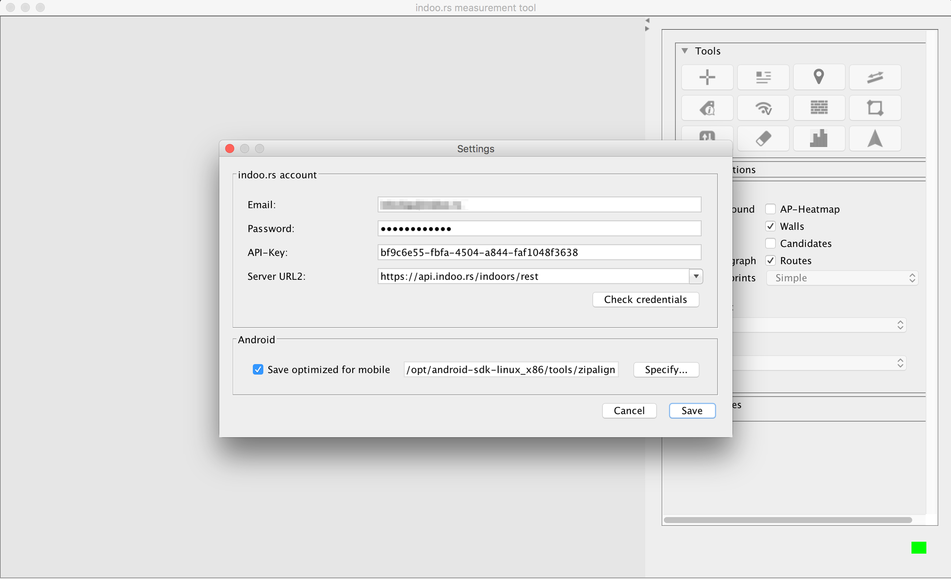
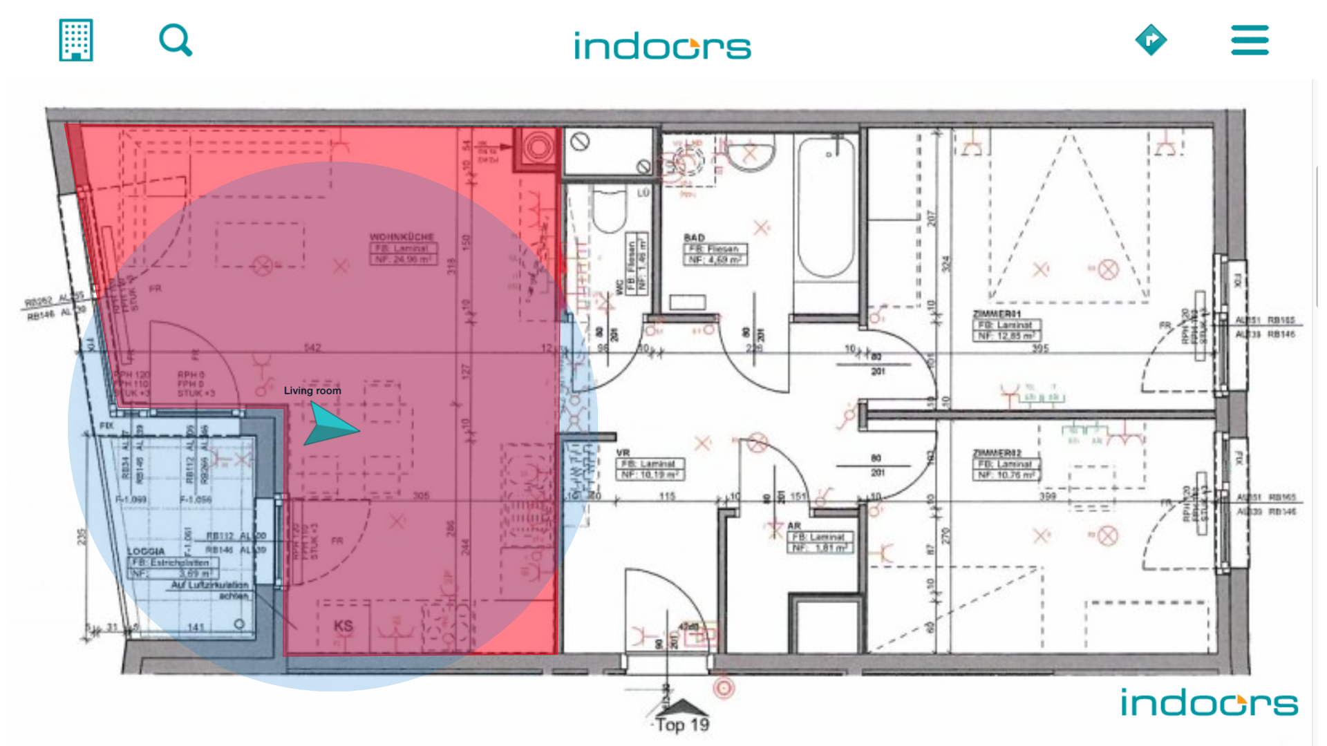
This key is also needed to work with the MeasurementTool application, which can be downloaded from the link in the Downloads section . MeasurementTool we need to create a map of the premises. For this we need images with floor plans (from the rooms that we plan to use for navigation). Use high-quality images in this step, since they will be displayed in your future mobile application.
First of all, we enter our registration data and application key in the MeasurementTool settings.
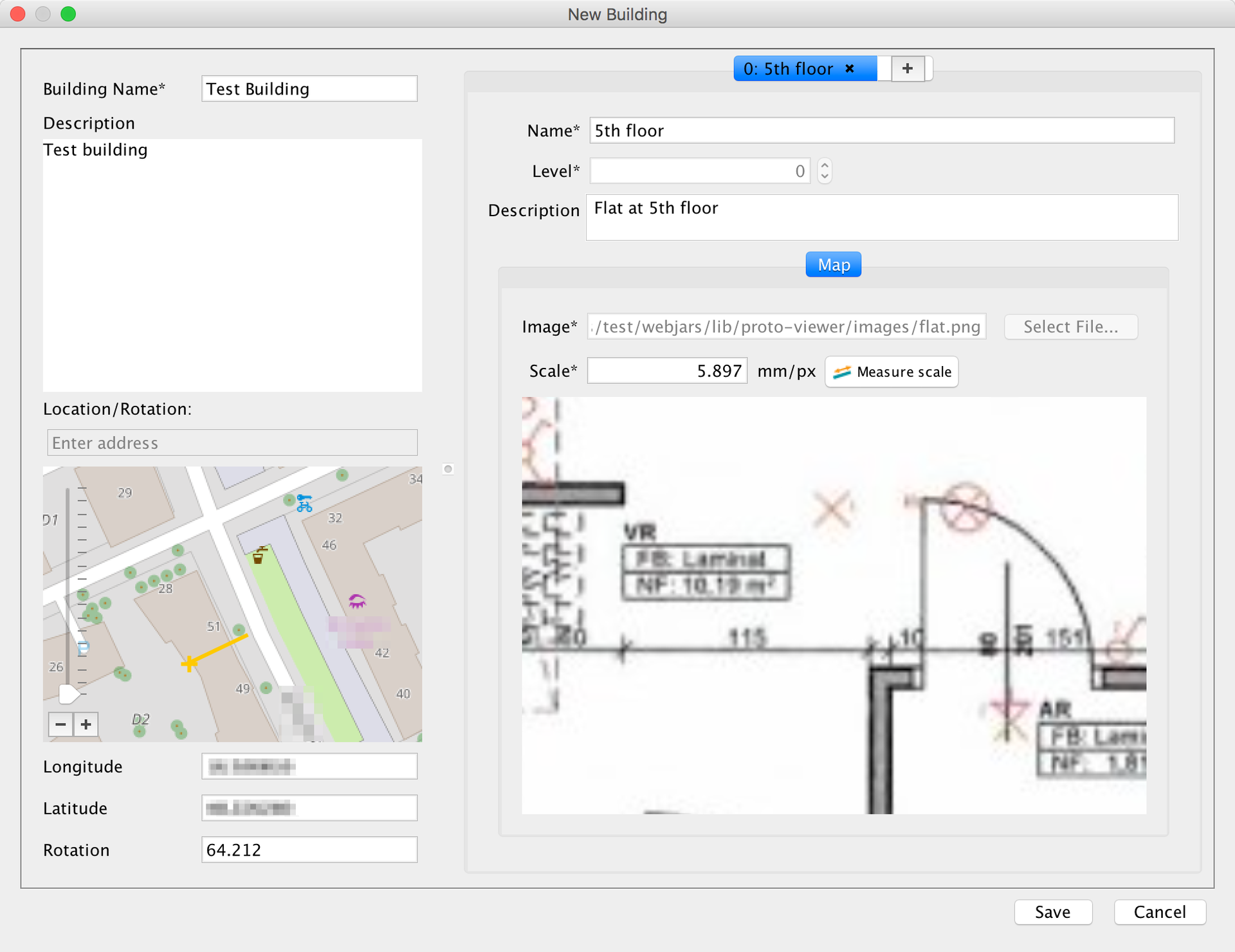
When creating a new map, we need the following data:
- the name of the building with a description;
- coordinates of the building on the map;
- angle of rotation;
- name, level and description for each floor.
A few nuances related to creating a map:
- coordinates are set relative to the upper left corner of the floor plan;
- rotation angle is set relative to the upper border of the image with the beginning in the upper left corner;
- A special tool is available for determining the scale (it requires entering the real distance between two arbitrary points in the room).
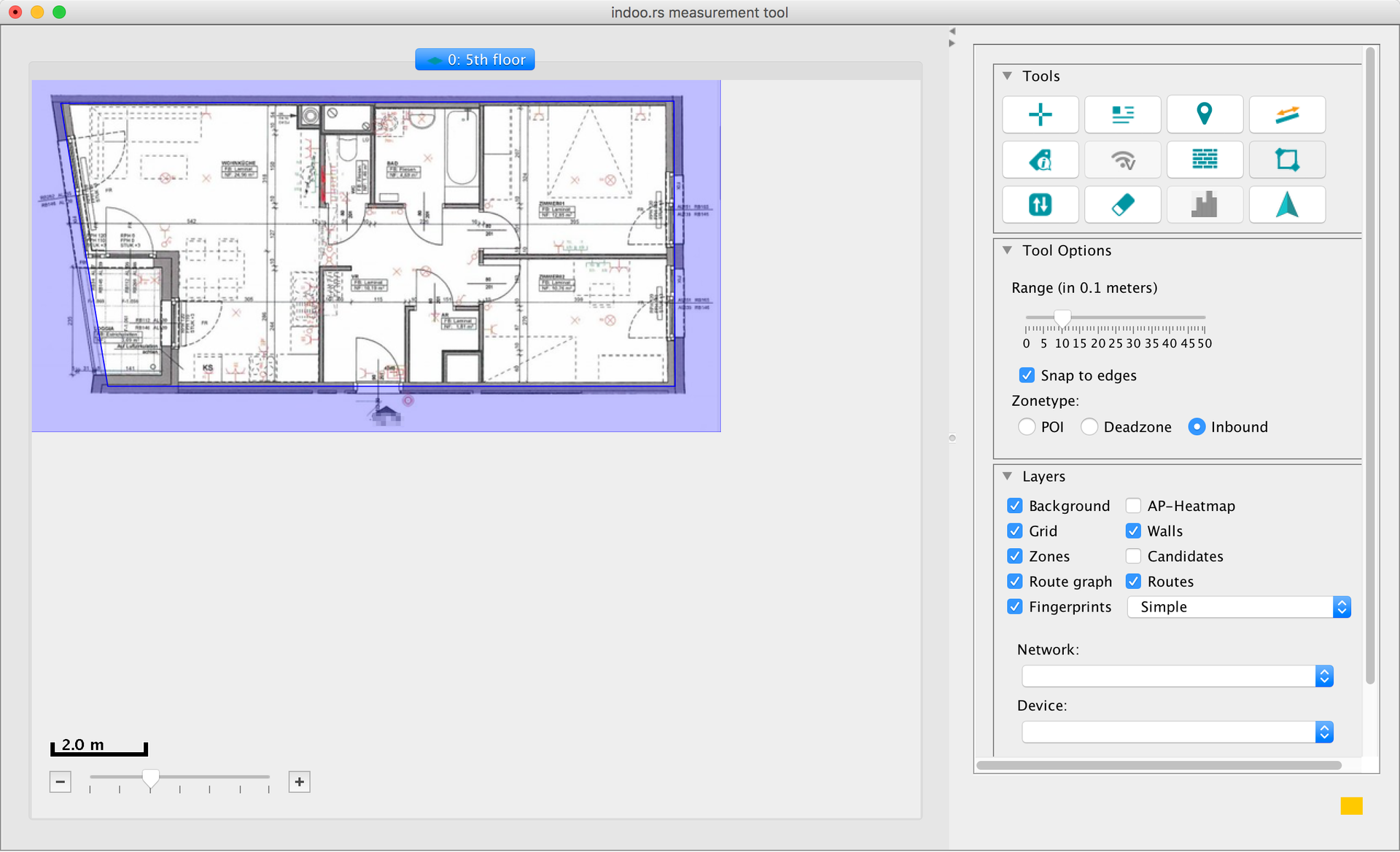
So, we set all the necessary parameters and created a prototype of our future map. The next step is to set up the elements of the map necessary for navigation, such as: walls, transitions between levels, zones, routes, etc.
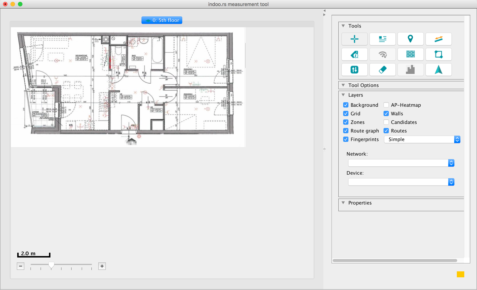


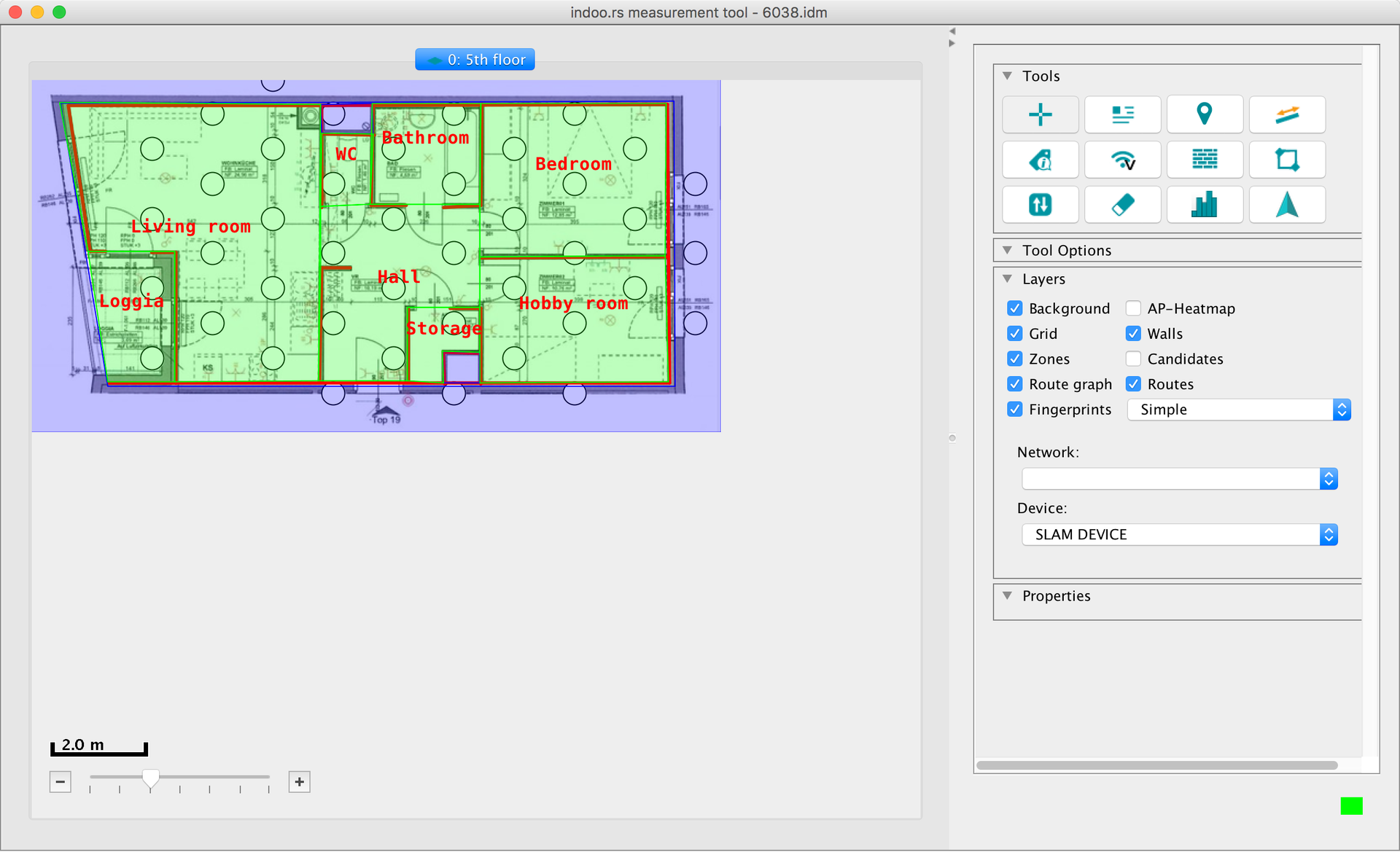
In earlier versions of the application, we had to set the location of the transmitter devices (WiFi access points and / or BLE beacons) and physically place them according to their location on the map - a lot of hard work done manually. At the moment, this is no longer necessary: you simply evenly distribute the beacons throughout the room, and everything else happens automatically, thanks to the new algorithms combined under the Indoors SLAM brand used to construct the map.
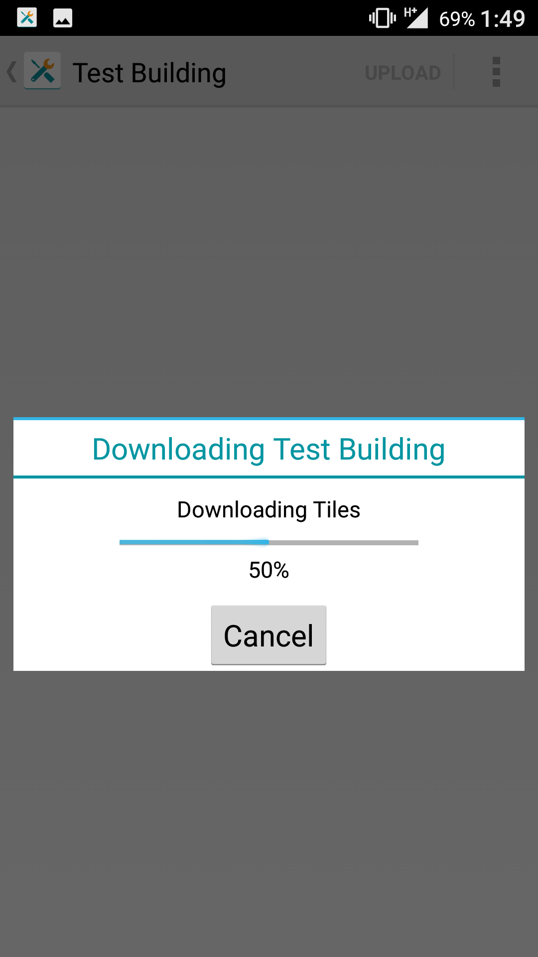
After setting all the necessary parameters of the premises, we are ready to save our changes on the server. To do this, select the Save to cloud item in the File menu.
The next step will be the physical placement of the BLE beacons on the premises. For an approximate assessment of a sufficient number of beacons, you can use a calculator .
You can use any beacons compatible with the iBeacon protocol or the existing WiFi infrastructure of access points. Accuracy in the latter case is obtained as a rule below, but for some applications it may be quite enough.
After placing the beacons proceed to the next step - taking measurements. The indoo.rs MobileToolkit application helps to cope with this task - it is also available in the Downloads section . The only restriction is that the application is available only for the Android platform (due to restrictions on Apple devices for working with Bluetooth stack).
So, we start the application, enter the registration data and open the previously created room map. There are two ways to record measurements:
- mark your current position while walking on the map;
- having marked the route in advance, mark the achievement of its next point.
Subjectively, the second method is slightly easier.
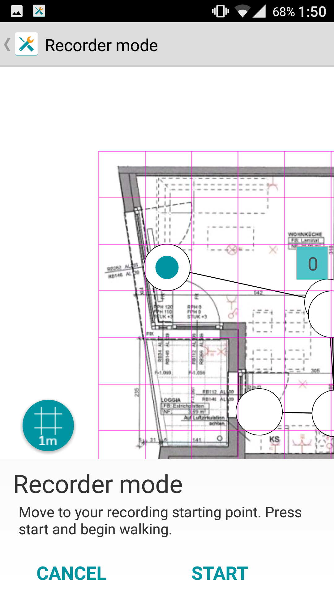
Basic recommendations for taking measurements:
- the measurement time should be between two and ten minutes;
- segments of the route must be straight;
- You should not swing the device, because in addition to measuring the radio signal, readings are also taken from the built-in accelerometer;
- total measurements should cover the entire area of the room;
- it is desirable that the measurements overlap each other in area;
- and, of course, before starting the measurements, make sure that Bluetooth on your device is turned on.
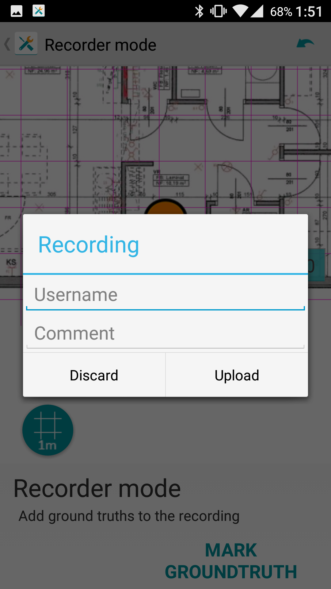
Now you need to upload the measurements to the server. Use the username and comment to distinguish between measurements (for example, floor number, part of the room, etc.).
The next step is currently partially automated and is performed upon request to the technical support service. In the near future, a new tool will be available (the internal name is SLAM DIY), which will allow you to prepare the final version of the card yourself and get a file in the idm format, which can then be imported into MMT. After importing the map becomes available to users of the mobile application.
Indoors Navigation from Play / AppStore or any other application developed using NavigationSDK (for example, MyFirstIndoorsApp, available in the Downloads section ) can act as a test application. NavigationSDK allows you to embed a map into the application itself so that users do not have to load it when they are first launched.
By this time, we have everything we need to implement our own indoor navigation application. Links to sample applications for iOS and Android are also on the download page.
The recently added plugin for Cordova and the example application deserve special attention. This made it possible to use the SDK in hybrid applications.
If this topic is of interest to readers, I can tell you more about the development of mobile applications with NavigationSDK, other products of the company and future plans.
')
Source: https://habr.com/ru/post/316910/
All Articles