All weather anomalies of 2015 in 8 minutes
Hello readers and fans of Habr!
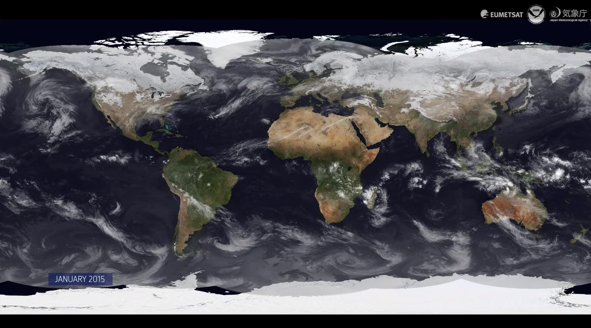
Recently, the European Organization of the Operation of Meteorological Satellites ( EUMETSAT ), together with colleagues from meteorological agencies of Japan and the United States, published a video that absorbed all the weather observation data for the past 2015.
')
Two hemispheres, 12 months and 8 minutes of excellent data visualization are waiting for you under the cut!
The video is a result of teamwork and generalization of a vast array of data from everyday observations of weather from space, received by the three leading meteorological agencies (unfortunately, RosCosmos and RosHydroMet did not take part in this with their Electro-L ). It begins in January, when the northern hemisphere is covered with snow, the entire wind rose in both hemispheres is clearly visible. Towards the summer, several large storms form around the US coast. Then in Agusta one can observe typhoons in southeast Asia, as well as the formation of three giant cyclones over the Pacific Ocean (approximately in the fifth and a half minute). And in the sixth minute, the generation, passage through the Caribbean, and the “attenuation” hurricane, which caused severe flooding in October in the British Isles and in Ireland, are shown. And immediately after this the formation of Hurricane Patricia .
The collected data should complement the observations made over the past 30 years and form the basis of climate change models and weather predictions using supercomputers.
Now sit back, relax, expand the video to full screen at a resolution of 2160k and enjoy the living breath of our old lady-Earth:
Sometimes briefly, and sometimes not so much about the news of science and technology, you can read on my Telegram channel - welcome;)
Source: https://habr.com/ru/post/276473/
All Articles