NASA presented the most detailed topographic map of the Antarctic over the past 10 years.
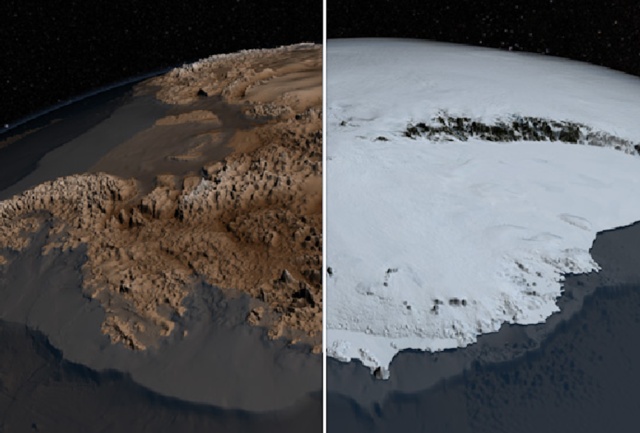
Immediately it should be warned that the post contains a video on which there is a “strawberry” - an entire continent is exposed (Antarctica) :) Well, seriously, NASA once again pleased both scientists and fans of geography / topographic systems. The new Antarctic surface map, Bedmap2, is based on Bedmap, the first such map from NASA, while the new product is much more detailed.
And this is not surprising, since Bedmap2 contains a huge amount of information collected in recent years. Information obtained from various sources, including Operation IceBridge. This is a special NASA aircraft that explores hard-to-reach polar regions. Of course, the map will be made available to the public, primarily for scientists who are studying the climate change of our planet.
')
The work done is just awesome, and its results can be assessed here on this video, plus you should go to the NASA website with even more information (including graphic) about the project.
Source: https://habr.com/ru/post/182222/
All Articles