A quick tour of new google maps
Greet HabraPolzovateli!
This morning, when checking email, I found the coveted invite for new google maps. I expected to see the promised "revolutionary maps" with integrated Google Earth. However, in fact, everything was somewhat different
')
Anyone interested, welcome under the cat
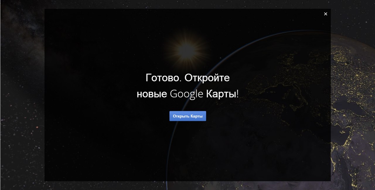
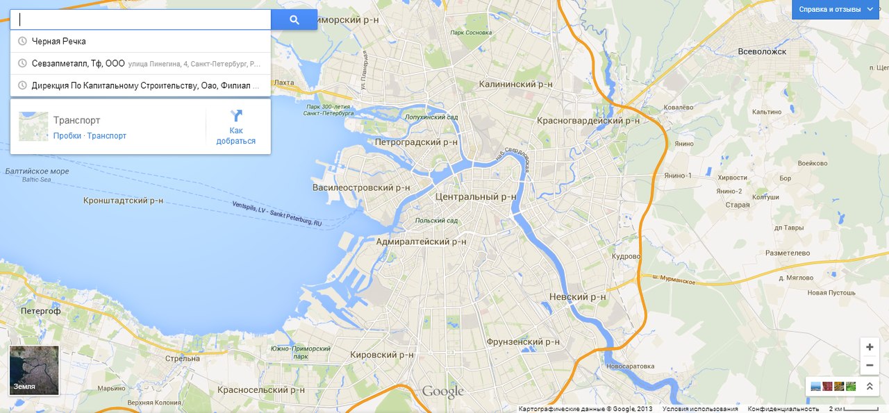
By the way, the "Open cards" button was pressed far from the first time.
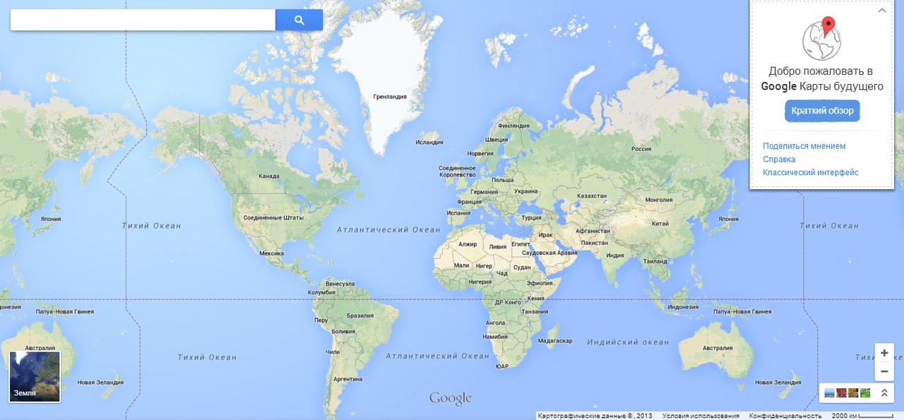
So meet: "cards of the future"!
Immediately striking changes in the map:
The map now opens in full screen.
Secondly, it began to work much faster (on weak computers)
Thirdly (IMHO) is more beautiful and more pleasant to eyes.

Most importantly, as indicated by a brief reference to new maps, this is a new search. It is really good and very convenient, but I did not see that long-awaited “integration with Google Earth”. Only some functions have been transferred.
Now it has become much more convenient to search on the map, you do not need to go to google separately, and then switch to another service. All together and it pleases.
UPD:
it’s convenient to lay the route now.
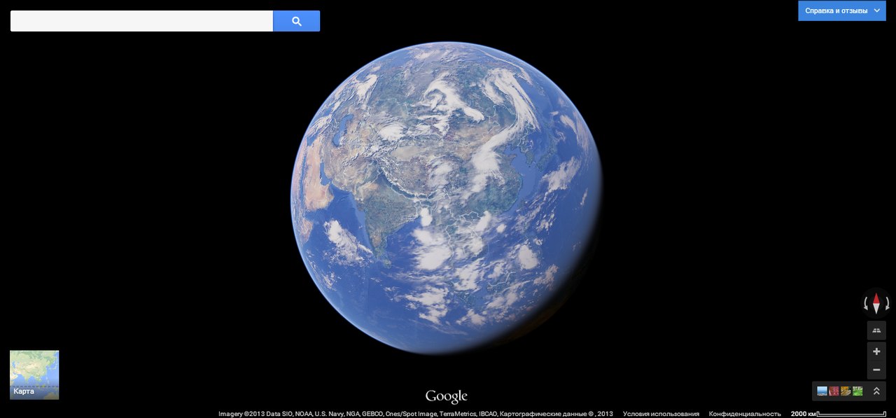
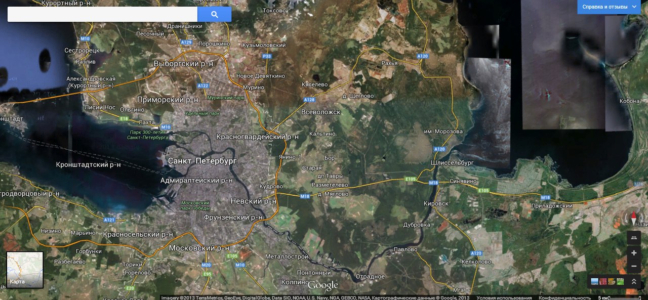
As you can see, finally, a normal 3D earth appeared (by the way, much better than Google Earth itself), but this is only part of the Google Earth functionality - the promised relief,
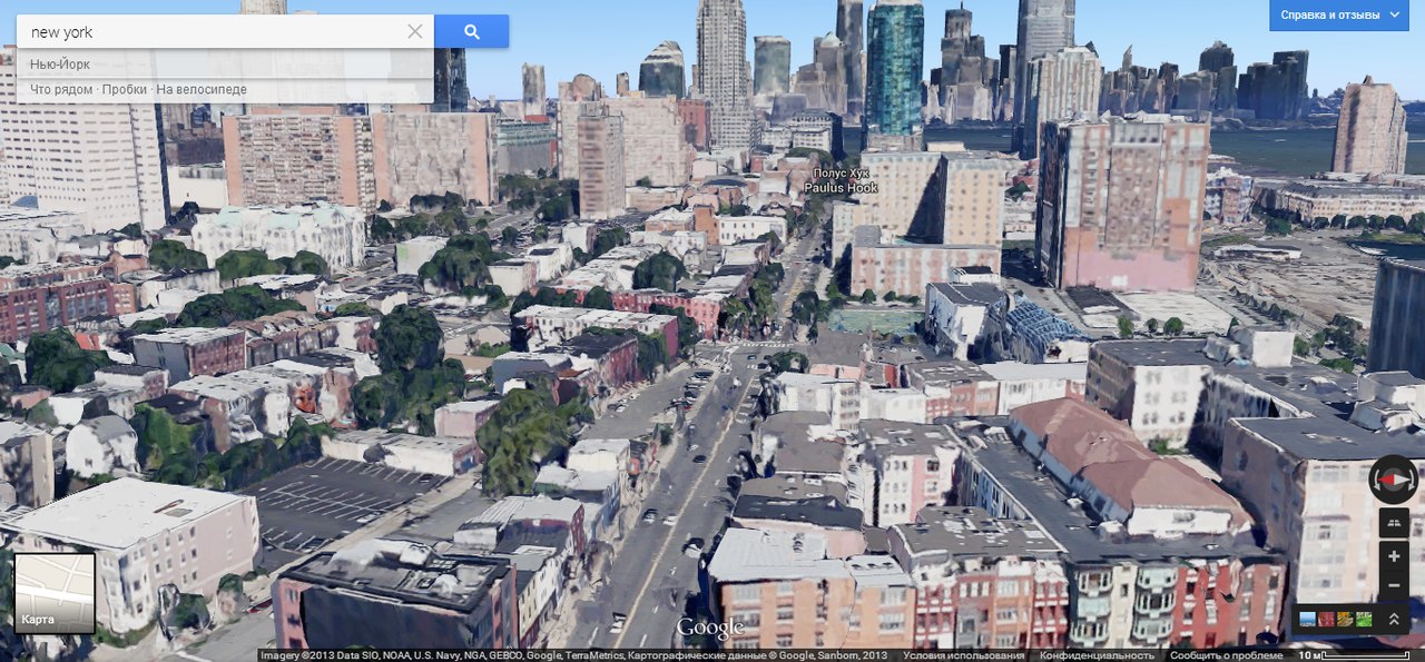
Below in the comments was given the screen of the Central Park in New York, obviously in 3D, this screen with a larger increase, it is clear that all houses are poor-quality curves and textures, but this really can be called a breakthrough ... you see someday every apartment will be scanned from a satellite and then comes before the 2006 Deja Vu movie.

In the "transport" tab, you can open the metro scheme.
UPD
As for the interface:
A mini map with satellite images on the left is nothing more than a button for switching to the “satellite” mode; this is convenient because when you view the map, you can also see the minimap with photographs from the satellite.
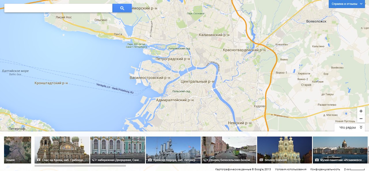
At the bottom right there is a button that opens the photos, i.e. now it is not necessary to look for small icons with photos on the screen, and everything is available in one place (by the way, photos in this drop-down menu appear from the area where you are “stuck”). This is one of the best features in this update. If you like to look at different cities of the world, then it is really more convenient.
When switching to the “ground” mode, additional control buttons appear on the right: “rotation” (this function is for some reason disabled in the “map-map” mode, although I, for example, need to rotate the map in both modes) and “tilt the view” (slope ( which is not really needed in the absence of 3D models))
Conclusion:
Google praised this update as something revolutionary, but I don’t see anything new here (IMHO), rather it’s just a good update that optimizes performance. But do not forget that this is just a pre-release and most likely in the final version will appear much more new features. Although the ubiquitous 3D is really a very large and serious innovation.
The new search is very good and convenient, does not require you to enter a bunch of extra information. Routes are excellent.
PS
This is my first article, so please do not swear strongly, but to give constructive criticism.
Pss
Link to the video that I was advised to post
Psss
Here is the link to ask for invite
Source: https://habr.com/ru/post/180799/
All Articles