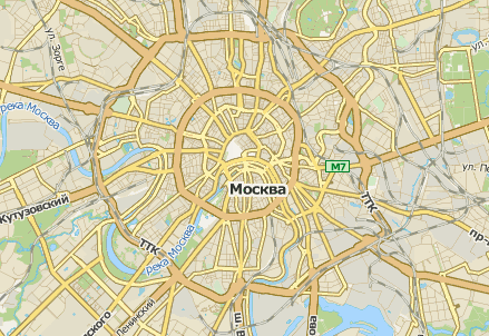
API Rambler Maps

We pay a lot of attention to design, style and all those little things that make up the feeling of pleasure when working with maps. Therefore, when the question of how to use our cards in your projects, began to be repeated more and more often, we decided to open the Rambler-Maps API .
As an approach, we have chosen the minimalist paradigm - the maximum of simplicity. For example, we initially abandoned the key system and minimized the number of methods. Working with the API is really very simple, but nevertheless it does not at all mean that it is designed exclusively for ordinary users. Experienced developers will also be quite comfortable and interesting to work with him.
Now our API is already able:
• Connect additional layers, such as traffic jams.
• Draw graphic objects (you can just draw on the map - like a pencil)
• Display tags and baluns with user information and animate them.
• Search for addresses, points of interest
• Easy to integrate custom applications.
The API structure consists of modules that can be assembled into separate custom assemblies on the fly. For this purpose, a special constructor is provided on the site, with the help of which the user can connect only what he really needs.
')
We have developed a special interface for custom applications - widgets - greatly simplifying the task for developers. If you write your own widgets and want to share, send them to us!
We paid considerable attention to compatibility with mobile platforms. Our graphics subsystem supports, for example, both Canvas and SVG. Gestures are also supported.
So, we launched a separate API site with documentation and examples. See, rate, join our groups on Facebook , Vkontakte or Twitter , discuss, ask questions, express your wishes on the functional part.
And this is just the beginning.
Source: https://habr.com/ru/post/147195/
All Articles