Added “helicopter mode” to Google Maps
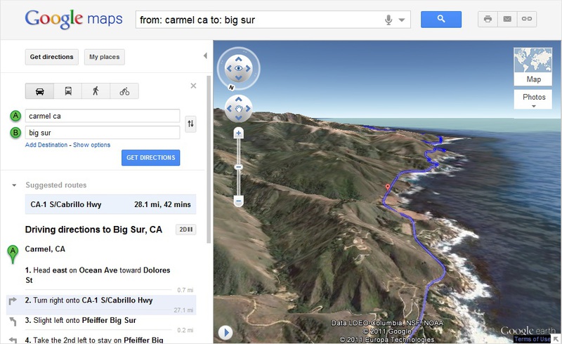
If it is simpler, then the developers of Google Maps have added the ability to view a specific area in a volumetric form with a bird's-eye view. This was done mainly for roads - so that drivers, when planning a trip, could see how the road was laid, and how difficult the path could be. According to representatives of the project team, the service can be useful for cyclists, pedestrian tourists and other categories of citizens traveling on the roads.
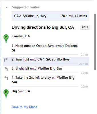
The “helicopter view” feature is available as a standalone mode. In order to use it, you need to enter the starting and ending points of the path (preferably intermediate points), after which the possible direction will be highlighted. Clicking on the appropriate button, you can view all the way from a bird's eye view, noting the difficult and potentially dangerous places on the track. After clicking the service also automatically switches the user to "flight mode".
')

In the process of viewing it will be possible to switch between separate sections of the path. If the volumetric viewing mode for some reason does not suit you, you can switch to the usual two-dimensional mode. The developers of the service believe that the new function will be really useful and in demand - after all, the volume view mode allows you to see what the usual 2D mode just does not show.
As far as can be judged, the new function is not available for all regions, so it will not be possible to evaluate all this immediately. Nevertheless, this “mess” of Google Earth and Google Maps is a rather interesting service for many categories of users.
Via google-latlong
Source: https://habr.com/ru/post/129563/
All Articles