Space Scale Fail
The idea to launch a balloon into space came from someone from the Magwei web studio employees (it seems they were programmers) back in January. Inspired by the examples of predecessors ( launch 1 , launch 2 ) we decided to do it. The ball should rise to a height of 20-30 km., Then burst and land on a parachute. During the flight from two cameras, continuous photo and video shooting is conducted.
May 14, we went to the launch of the ball.

')
Equipment that will fly:
GPS tracker Spot 2, with it we will track the movement of the ball. Spot works via satellite, location data is sent every 10 minutes to Google maps.
Old Premier camera for video recording.
New Panasonic Lumix with a 16G card for photos.
Hours Adrenaline, tracking temperature, altitude (up to 7km.) And pressure (to calculate the maximum height).
Two hot water heaters Hot hands 2. At heights, the temperature reaches -60, we decided to warm ourselves a little.
Under the cut photo and video of the launch.

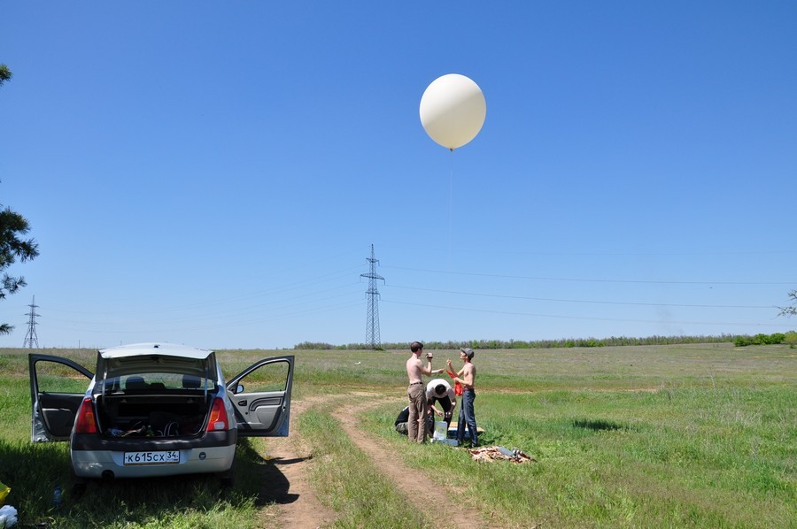
Starting point: Gornaya Polyana (village near Volgograd).
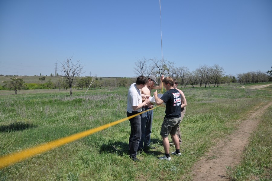
Check the parachute. It depends on him our probe falls at a very high speed or just just a big one)

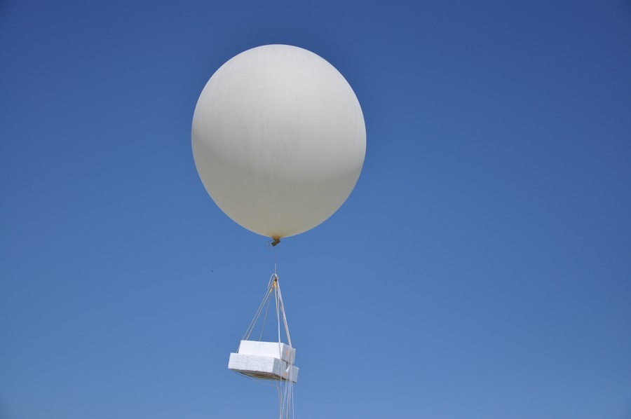
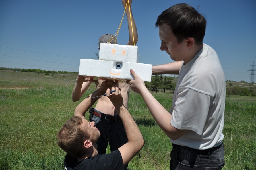
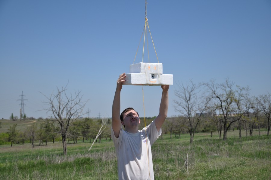
Equipment will fly in a box. The video is shot by the camera below, photo from the side

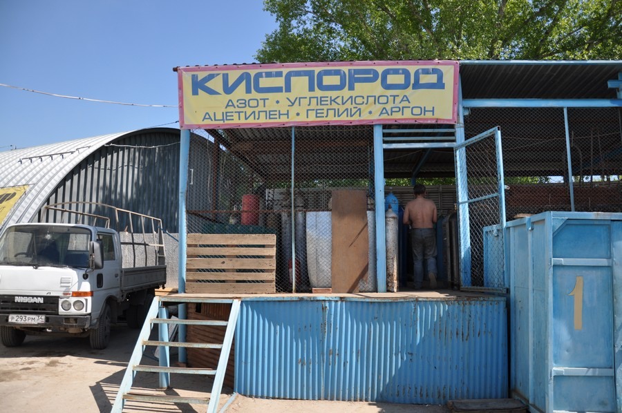
10-liter cylinder with helium.

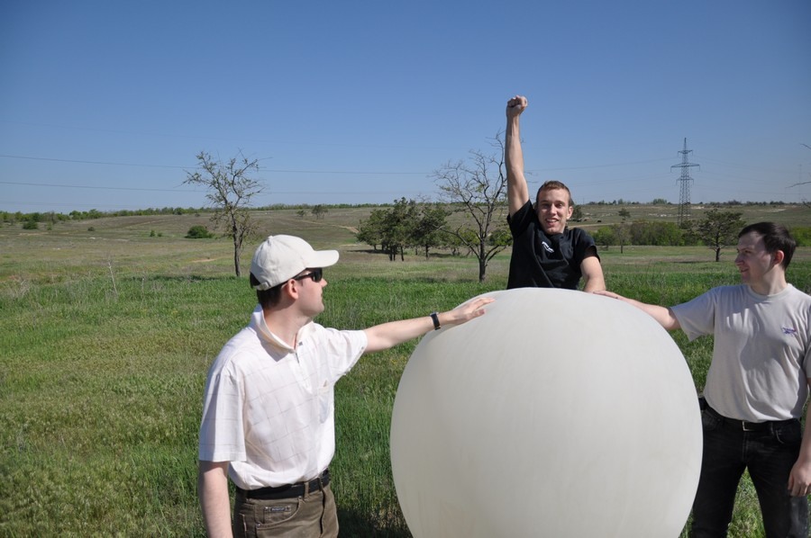
We start to inflate a meteorological ball.


Fooled!
And the ball does not fly! Barely rises from the ground. Whether the balloon was not fully filled, or the load is too heavy. Such a cylinder should be enough to lift 1.1 kg.

If you lay out cameras, it rises, but also with insufficient speed.
I had to go to refuel the cylinder.
While team A fills the balloon with helium, team B fries kebabs.

After a snack, we pump the ball again.
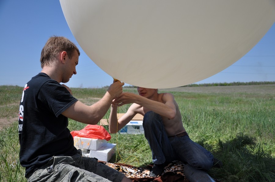
Test run with insurance. And again, the lift is insufficient, the ball gains height slowly. As a result, we had to finish it twice more. You do not pump enough - the ball does not rise high with a load, you pump it - it will burst faster (at heights because of the pressure drop, the ball swells).

24. Ready to start!
25. Flew! The launch took place at 12-57.
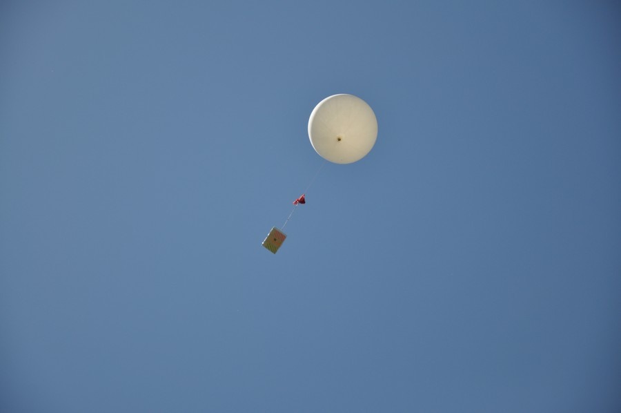
26. Flies! There is no wind, the ball rises almost vertically.
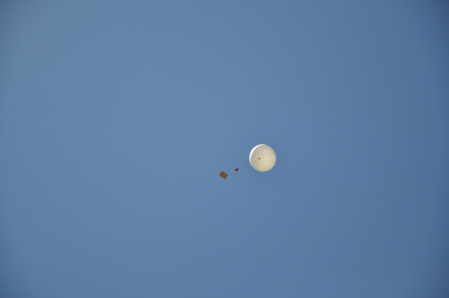
Received the first coordinates. The ball moves to the southwest. We are going to Krasnoarmeysky district of Volgograd and further out of the city. If the wind does not change, the ball will cross the Volga-Don Canal and fly towards Kalmykia.
The last point on the map was obtained in 14-06. Perhaps the ball went out of the signal sending area, the tracker works up to 8 km. in height. We are waiting, but the last coordinates do not change. The flight of the ball cannot last more than 3 hours (according to the experience of the people who launched them earlier), during this time it must reach its maximum height and burst. We are going to the last known point.

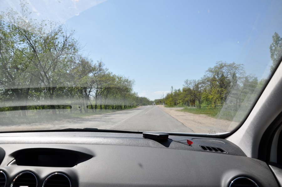
37. Verify the coordinates. Us in the direction of the village Ivanovka. The flight of the ball, we tracked using a netbook, iPhone and Aipad. Aypad with a sim card from MTS turned out to be the most inhibited for some reason, while the iPhone with the MTS worked more quickly. He most accurately showed our location.

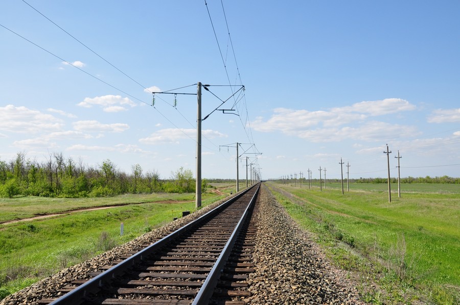
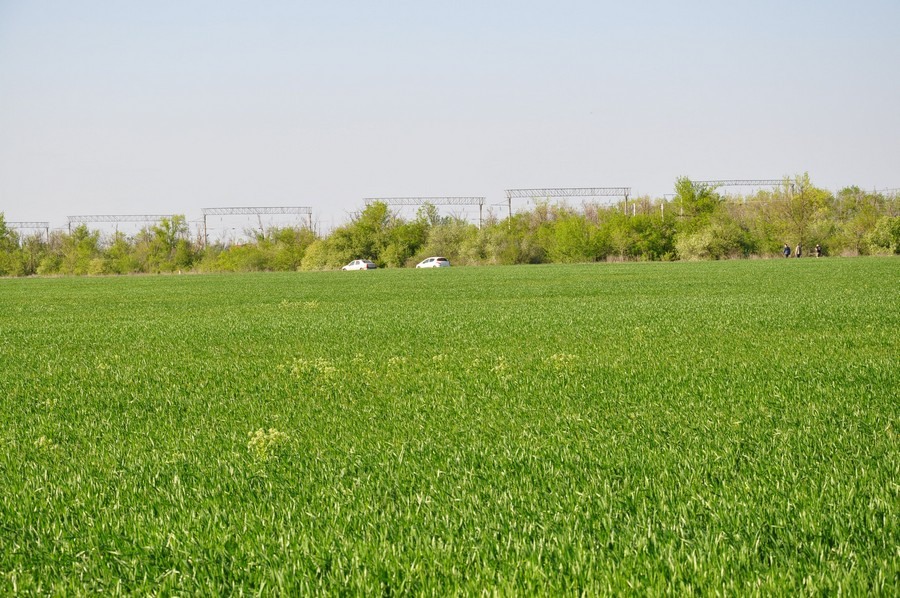
41. From Ivanovka in the direction of the fields goes dirt road of excellent quality (this is better than a leaky asphalt in the area) We go there.

Already close, but how to get closer to the intended point of falling?

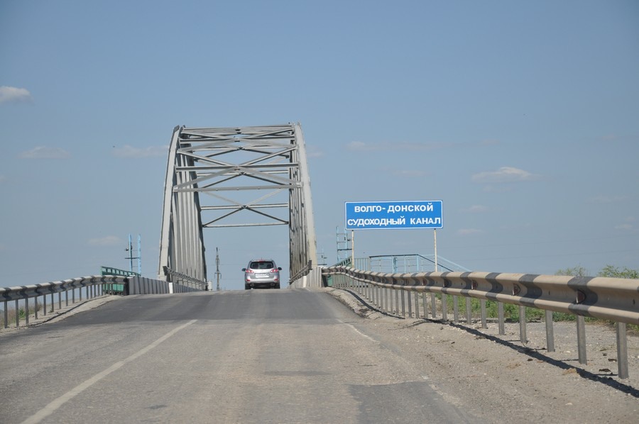
The primer rests against the railroad.
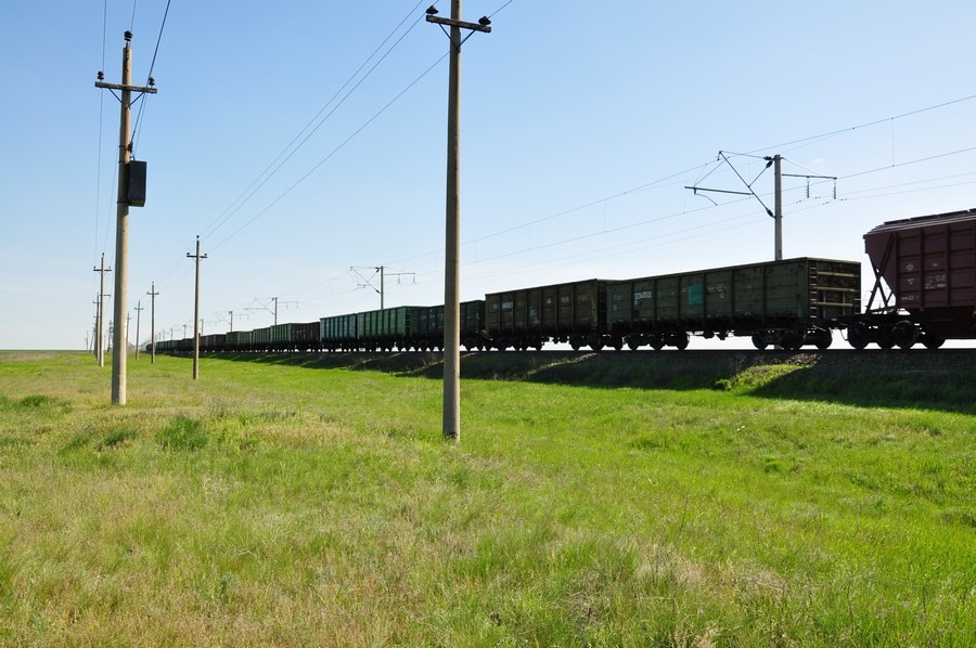
Us there! We are looking for a rail-move and as close as possible to the last point.
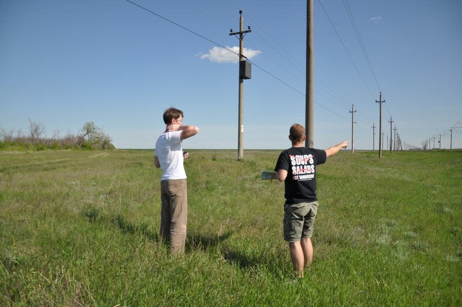
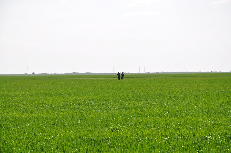
Somewhere in this field should be our probe.
The guys go to the place of the alleged fall. But there is nothing there.
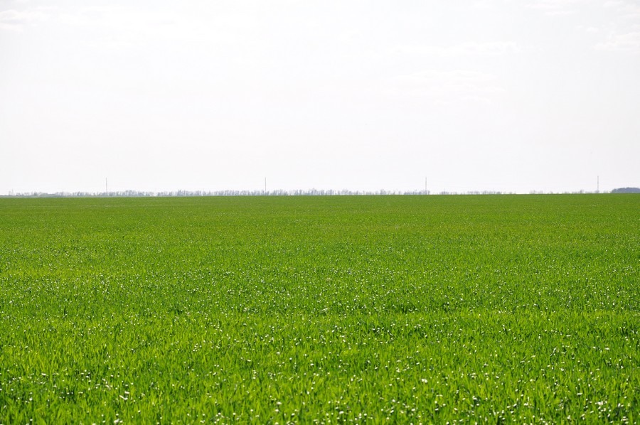
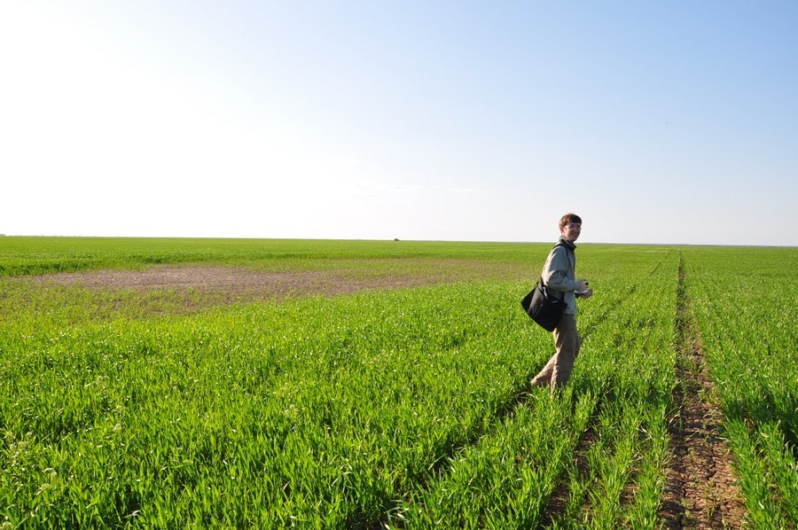
On one side of the field is a forest belt, very thick, with prickles. We put on jackets and make our way through the thickets.

We go on the intended flight path. Perhaps Spot broke and therefore does not transmit a signal. The data that we have, obtained at a height, and the place of the fall further.

The probe is not visible. We return to the car.
Part of the team goes into the field. And again without result.
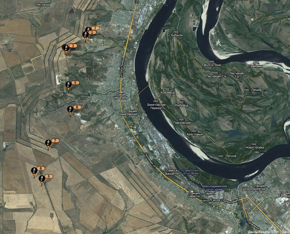
From the launch site to the last known point just 13 km. This is very small, balls like ours fly away from 40 to 300 km.

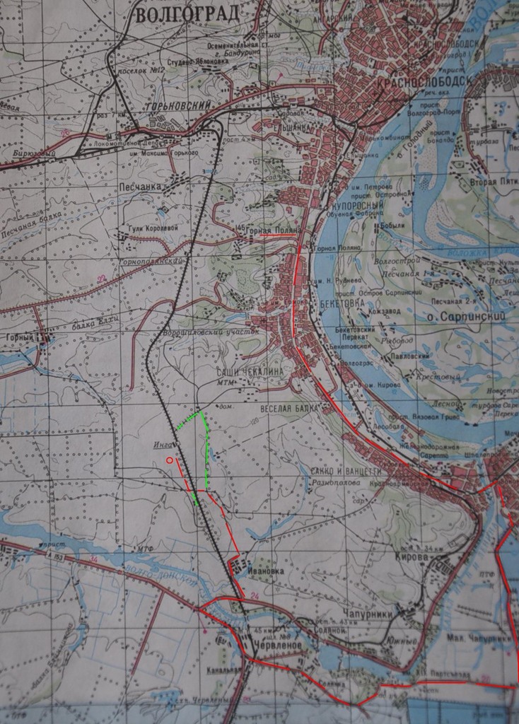
59. Red traced our way to the car from the launch site to the last known point, near the railway station Inga. We did not expect the last coordinates to be just 13 km, so we made a big detour.
Green dotted - where we still went.
60. The movement of the balloon according to gps-tracker Spot. Last known coordinates:
Latitude: 48.52578
Longitude: 44.33266
If you are in that area, look for a white box, please).
What happened to the ball? We have several versions.
1. The last point passed before the ball went to a height of more than 8 km. Further, where the temperatures reach -50 -60, the tracker froze and stopped working (it is unlikely, nevertheless, Spot was in the box, where there were hot-water bottles; and being at the height was not so long). A more plausible version is that after the ball burst, the signal did not have time to be transmitted during a rapid fall (if the parachute did not work). When the Spot fell from a strong blow, it flew out of the box and the batteries crashed or shifted.
2. The ball was overloaded and the last point is the drop point. At the same time, there must again be a very strong blow to a hard surface in order for the tracker to stop working. By itself, it is strong, and the box just soften the blow.
3. The last point is the drop point. Then someone found it and took out the batteries from Spot. Unlikely, too many conditions. A person must quickly get to the box in the box, pull out the tracker, understand what it is and de-energize it. And for all this time the tracker has not transmitted a single signal. Very unlikely.
4. Spot left the satellite visibility zone (this has already happened, usually after 19-00) and due to some technical problems could not return to the visibility zone.
5. Our ball stole a UFO.
In any case, it was gps-tracker that let us down. It was necessary to put a duplicate navigator - the phone. Let him have an error on gprs much higher in the country, but at least we knew about the place of the falling of the probe.
Video, as we launched the ball .
Links to parts of this YouTube video:
Arrival at the launch site
Probe overview
Equipment overview
Tracking technique overview
Blow the balloon
We pack
Launch
May 14, we went to the launch of the ball.
')
Equipment that will fly:
GPS tracker Spot 2, with it we will track the movement of the ball. Spot works via satellite, location data is sent every 10 minutes to Google maps.
Old Premier camera for video recording.
New Panasonic Lumix with a 16G card for photos.
Hours Adrenaline, tracking temperature, altitude (up to 7km.) And pressure (to calculate the maximum height).
Two hot water heaters Hot hands 2. At heights, the temperature reaches -60, we decided to warm ourselves a little.
Under the cut photo and video of the launch.
Starting point: Gornaya Polyana (village near Volgograd).
Check the parachute. It depends on him our probe falls at a very high speed or just just a big one)
Equipment will fly in a box. The video is shot by the camera below, photo from the side
10-liter cylinder with helium.
We start to inflate a meteorological ball.
Fooled!
And the ball does not fly! Barely rises from the ground. Whether the balloon was not fully filled, or the load is too heavy. Such a cylinder should be enough to lift 1.1 kg.
If you lay out cameras, it rises, but also with insufficient speed.
I had to go to refuel the cylinder.
While team A fills the balloon with helium, team B fries kebabs.
After a snack, we pump the ball again.
Test run with insurance. And again, the lift is insufficient, the ball gains height slowly. As a result, we had to finish it twice more. You do not pump enough - the ball does not rise high with a load, you pump it - it will burst faster (at heights because of the pressure drop, the ball swells).
24. Ready to start!
25. Flew! The launch took place at 12-57.
26. Flies! There is no wind, the ball rises almost vertically.
Received the first coordinates. The ball moves to the southwest. We are going to Krasnoarmeysky district of Volgograd and further out of the city. If the wind does not change, the ball will cross the Volga-Don Canal and fly towards Kalmykia.
The last point on the map was obtained in 14-06. Perhaps the ball went out of the signal sending area, the tracker works up to 8 km. in height. We are waiting, but the last coordinates do not change. The flight of the ball cannot last more than 3 hours (according to the experience of the people who launched them earlier), during this time it must reach its maximum height and burst. We are going to the last known point.
37. Verify the coordinates. Us in the direction of the village Ivanovka. The flight of the ball, we tracked using a netbook, iPhone and Aipad. Aypad with a sim card from MTS turned out to be the most inhibited for some reason, while the iPhone with the MTS worked more quickly. He most accurately showed our location.
41. From Ivanovka in the direction of the fields goes dirt road of excellent quality (this is better than a leaky asphalt in the area) We go there.
Already close, but how to get closer to the intended point of falling?
The primer rests against the railroad.
Us there! We are looking for a rail-move and as close as possible to the last point.
Somewhere in this field should be our probe.
The guys go to the place of the alleged fall. But there is nothing there.
On one side of the field is a forest belt, very thick, with prickles. We put on jackets and make our way through the thickets.
We go on the intended flight path. Perhaps Spot broke and therefore does not transmit a signal. The data that we have, obtained at a height, and the place of the fall further.
The probe is not visible. We return to the car.
Part of the team goes into the field. And again without result.
From the launch site to the last known point just 13 km. This is very small, balls like ours fly away from 40 to 300 km.
59. Red traced our way to the car from the launch site to the last known point, near the railway station Inga. We did not expect the last coordinates to be just 13 km, so we made a big detour.
Green dotted - where we still went.
60. The movement of the balloon according to gps-tracker Spot. Last known coordinates:
Latitude: 48.52578
Longitude: 44.33266
If you are in that area, look for a white box, please).
What happened to the ball? We have several versions.
1. The last point passed before the ball went to a height of more than 8 km. Further, where the temperatures reach -50 -60, the tracker froze and stopped working (it is unlikely, nevertheless, Spot was in the box, where there were hot-water bottles; and being at the height was not so long). A more plausible version is that after the ball burst, the signal did not have time to be transmitted during a rapid fall (if the parachute did not work). When the Spot fell from a strong blow, it flew out of the box and the batteries crashed or shifted.
2. The ball was overloaded and the last point is the drop point. At the same time, there must again be a very strong blow to a hard surface in order for the tracker to stop working. By itself, it is strong, and the box just soften the blow.
3. The last point is the drop point. Then someone found it and took out the batteries from Spot. Unlikely, too many conditions. A person must quickly get to the box in the box, pull out the tracker, understand what it is and de-energize it. And for all this time the tracker has not transmitted a single signal. Very unlikely.
4. Spot left the satellite visibility zone (this has already happened, usually after 19-00) and due to some technical problems could not return to the visibility zone.
5. Our ball stole a UFO.
In any case, it was gps-tracker that let us down. It was necessary to put a duplicate navigator - the phone. Let him have an error on gprs much higher in the country, but at least we knew about the place of the falling of the probe.
Video, as we launched the ball .
Links to parts of this YouTube video:
Arrival at the launch site
Probe overview
Equipment overview
Tracking technique overview
Blow the balloon
We pack
Launch
Source: https://habr.com/ru/post/119425/
All Articles