Nokia creates a rival Google Street View
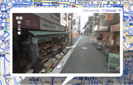
The other day it became known that Nokia, which now has quite difficult times, including a change of leadership and constant accusations of the absence of new ideas, creates a new service that, apparently, can become a worthy competitor to Google Street View. The fact is that the service from the Finnish company also boasts the presence of 3D navigation in the simulated cities and towns. The developers claim that their service has distinctive features that Google Street View does not have.
Recall that the above service is very popular, because only three years have passed since its launch. Since then, tens of thousands of three-dimensional models of architectural monuments and simply buildings in various regions have been created. Developers from Nokia claim that their own service is superior to analog from Google.
')
The fact is that experts from Nokia are working on the creation of 3D models without the "gluing" of ordinary photographs obtained through stereo photography, as is the case with Google Street View. Naturally, the developers claim that it is Nokia that will present the most detailed maps of cities that will be close to the ideal. In addition, based on all these models, it will be possible to create online games that are now experiencing a peak of popularity. Of course, games are not exactly what users need from services like Google Street View, but why not?
Models of settlements will be used for educational games, such as a driving simulator through the streets of the city. Among other things, the company will allow advertising products and services to third-party manufacturers in its service. Creating a model of the settlement will be held in two general stages. The first is the creation of a three-dimensional "skeleton", which will then be "put on" the image obtained by the Nokia-mobile, which drives through the streets of cities just as Google does.
It is worth noting that the partner of the Finnish company, Navteq, has been working closely in the field of creating digital maps for a long time. For this, the company also uses cars that “digitize the terrain”. A month later, Navteq will present new models of cars created specifically for the common project of both companies. Cars called Truecar. Now these cars will begin to photograph everything and everyone, driving around first in London, and then through the streets of other cities.
Via Newscientist.com
Source: https://habr.com/ru/post/104487/
All Articles